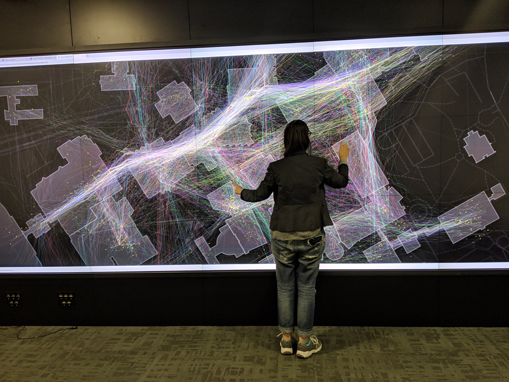
The SmartCampus project visualizes anonymized movement and activity data from more than 200 students on the University of Calgary campus. These visualizations illustrate movement and behavior patterns of students to help answer key questions about the design of campus spaces.
Learn
Find out more about data management and data management plans
Plan
Create a data management plan to ensure your research data is well taken care of
How to Use the Visualization
About the Data
Researchers from the University of Calgary collected this data from students who exported data from their mobile phones using Google Takeout. The anonymized dataset visualized here contains data from 208 individuals and includes 5,530 unique paths showing their movement across campus. The dataset also includes 80,076 unique rest points which highlight locations in which individuals stayed for an extended period.
For a detailed discussion of the data collection methodology see:
Galpern et al. Assessing urban connectivity using volunteered mobile phone GPS locations. Applied Geography. 2018.
Our team members.